Why this pilot site?
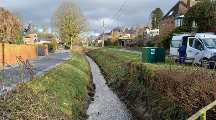
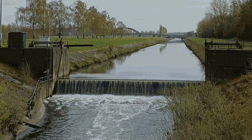
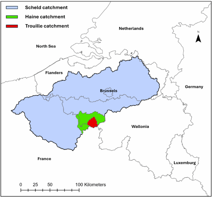
The Haine catchment faces significant soil erosion from intensive agriculture. Sediment is transported through the river network towards the Pommeroeul-Condé Canal, where it accumulates and contributes to dredging costs of more than € 5 million per year. The area also has a history of mudflows and flooding after extreme rainfall. Climate change could further increase these pressures.
What do we want to achieve?
The pilot aims to better understand where sediment comes from, how it moves through the catchment and where it is deposited, under current and future climate conditions. This knowledge will support climate-resilient sediment management and help reduce soil erosion, mudflows, flood risk and dredging needs, while improving the long-term resilience of the river system.
How will we do this?
The project combines monitoring, hydrological modelling and stakeholder engagement. New sediment monitoring stations complement existing monitoring across the Haine catchment. Data will be used to develop and calibrate models before scaling up the analysis. Climate scenarios will help assess how future conditions could affect sediment generation and transport and inform practical management strategies.