Why was this pilot site selected?
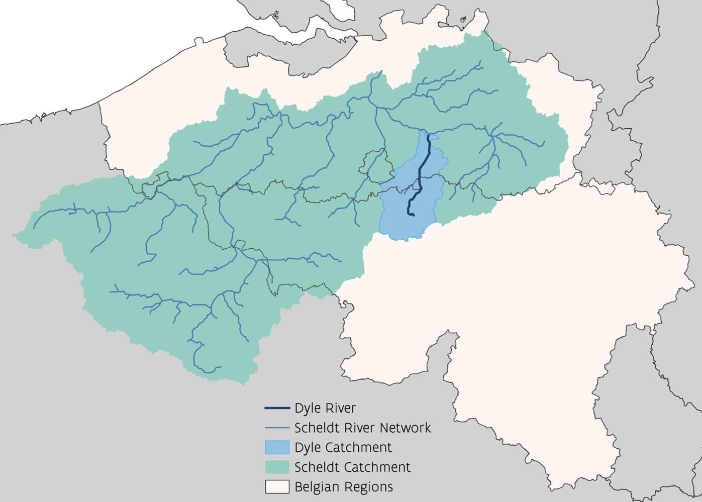
The Dyle flows through the Belgian Loess Belt, an area with highly productive but very erosion-sensitive soils. Intensive agriculture can cause large quantities of sediment to enter rivers. This affects water quality and aquatic ecosystems and creates a need to manage sediment throughout the river system. The scale of the challenge became particularly clear during the floods of July 2021 when more than 30,000 tonnes of sediment were transported over just a few days. The catchment crosses Flanders, Wallonia and Brussels, which makes cooperation and catchment-wide sediment management especially important.
What do we want to achieve?
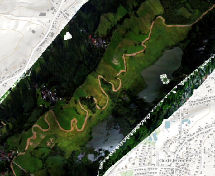
The pilot wants to understand where erosion occurs, how much sediment enters the river, and how that sediment is transported and deposited throughout the catchment. It examines how changes in land use, mitigation measures and climate conditions could influence erosion and sediment movement. The goals is more coordinated and effective sediment management.
How will we do this?
The project develops scientifically robust models to:
- identify erosion hotspots
- estimate sediment loads entering the river
- simulate sediment transport and deposition
- assess different land-use and mitigation scenarios
- evaluate how climate change may affect erosion and sediment-related risks
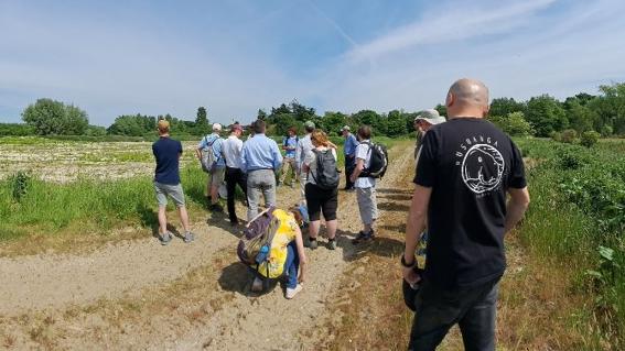
Monitoring data will help support this work, as well as a regional working group. The modelling and planning framework should be transferable to other erosion-prone rivers with similar challenges.