
Why this pilot site?
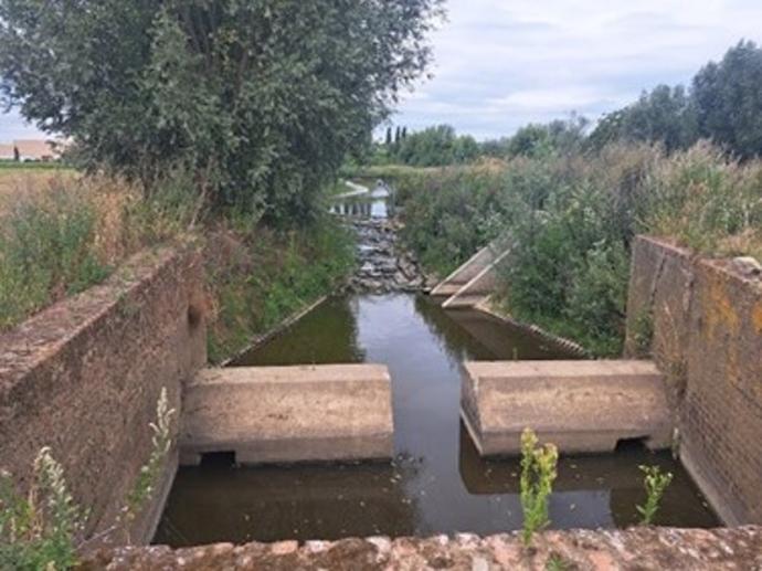
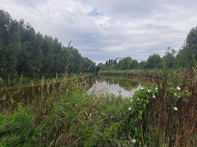
The Douve is an ideal location to study the impact of erosion and sediment on water quality, biodiversity and flood risk. Sediment carries nutrients and pollutants into watercourses and can lead to silting of rivers and ditches. Because the river crosses national and regional borders, effective sediment management requires close cooperation between France, Flanders and Wallonia.
What do we want to achieve?
The pilot aims to:
- Identify erosion hotspots throughout the catchment.
- Quantify sediment loads and pathways.
- Understand how sediment is transported and deposited.
- Assess the impact of climate change and land-use changes.
- Support better decision-making for erosion and sediment management.
How will we do this?
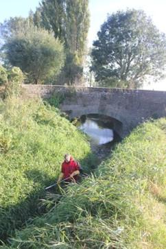
ClimASed partners will collect and harmonise monitoring data, including hydrological measurements, sediment samples, soil information and land-use data. These data will feed a high-resolution sediment model that will:
- Map erosion-prone areas.
- Simulate sediment transport and deposition.
- Test the effectiveness of mitigation measures.
- Support coordinated management across the entire catchment.
By combining scientific modelling with cross-border collaboration, the Douve pilot will provide practical insights to reduce sediment pollution, improve water quality and build a more climate-resilient river system.