From October 2025 to March 2026, five Master’s students from the Geography, Planning, Environment and Development (GAED) programme at the University of Lille are conducting an in‑depth group project on territorial vulnerabilities. Their work focuses on modelling soil water erosion in the Ecaillon catchment (Hauts‑de‑France, France), a predominantly agricultural basin facing increasing hydro‑sedimentary pressures.
Under close supervision, the students are being trained to simulate the catchment’s hydro‑sedimentary response to rainfall events. Using the distributed WaterSed model, developed by BRGM, they analyse runoff, sediment transport and deposition processes. Spatial analysis tools support their assessment of erosion hazards and help identify zones most at risk from soil loss or sediment accumulation.
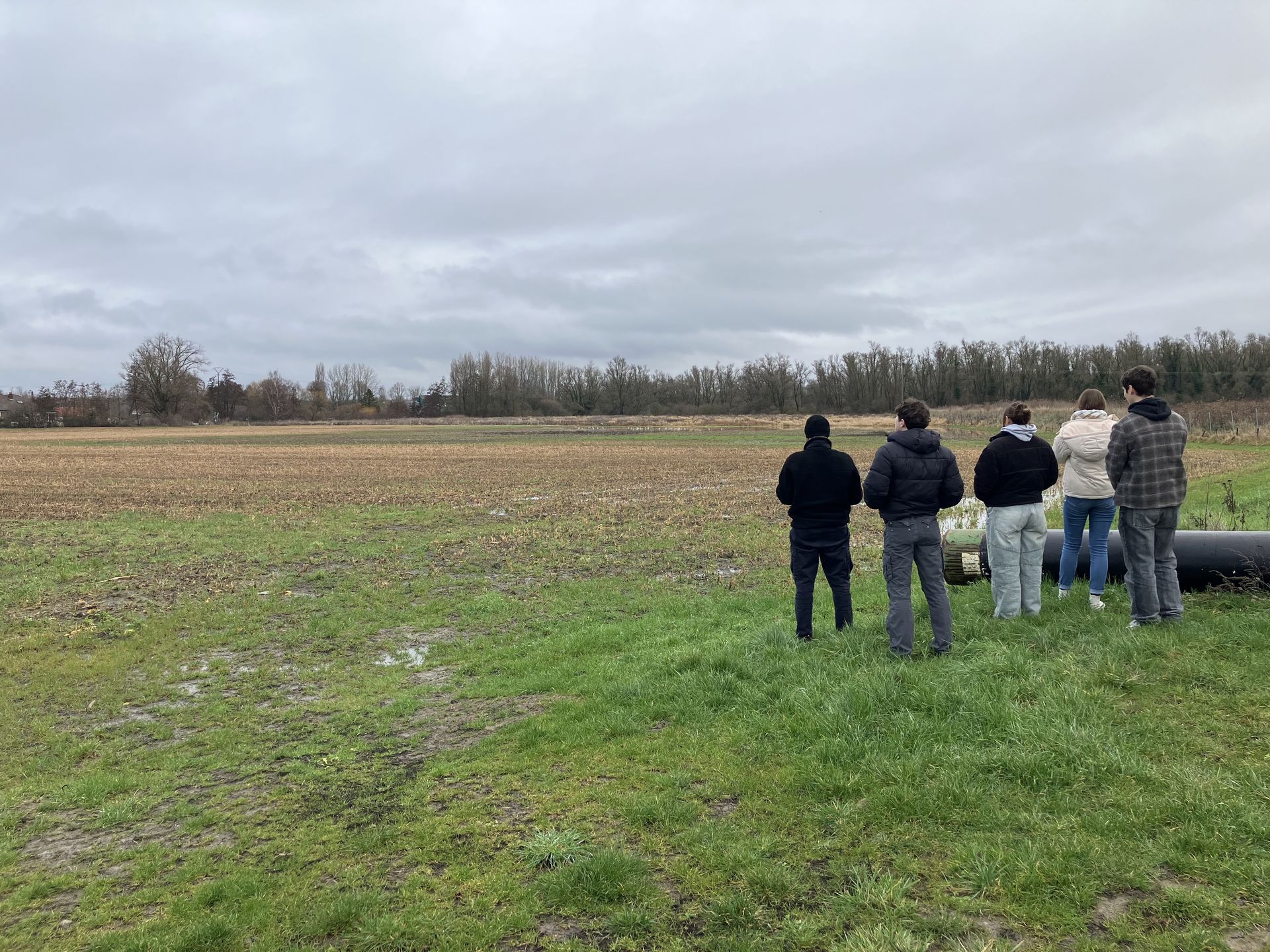
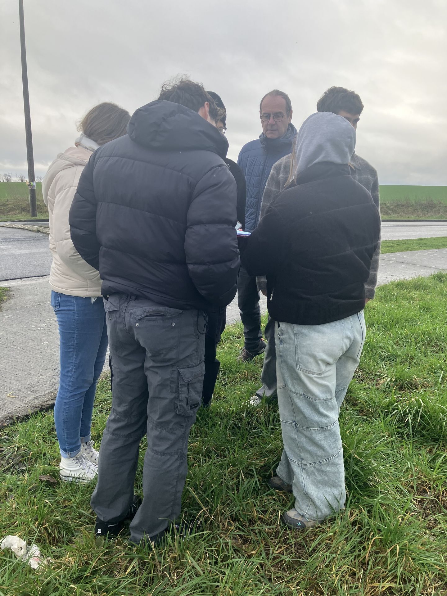
As part of this hands‑on learning approach, the group carried out a field mission in the Ecaillon catchment. During this visit, they collected essential data on the local runoff network, including mapping drainage ditches and culverts—key inputs for accurate model parameterisation.
Beyond the technical dimension, the project encourages students to adopt an applied, operational perspective. Their findings will contribute to reflections on sustainable land management and support the development of more resilient sediment management strategies at territorial scale.
Through this experience, the students gain valuable insight into the interactions between topography, land use—particularly agriculture—and hydro‑sedimentary dynamics, strengthening both their analytical skills and their understanding of real-world environmental challenges.